
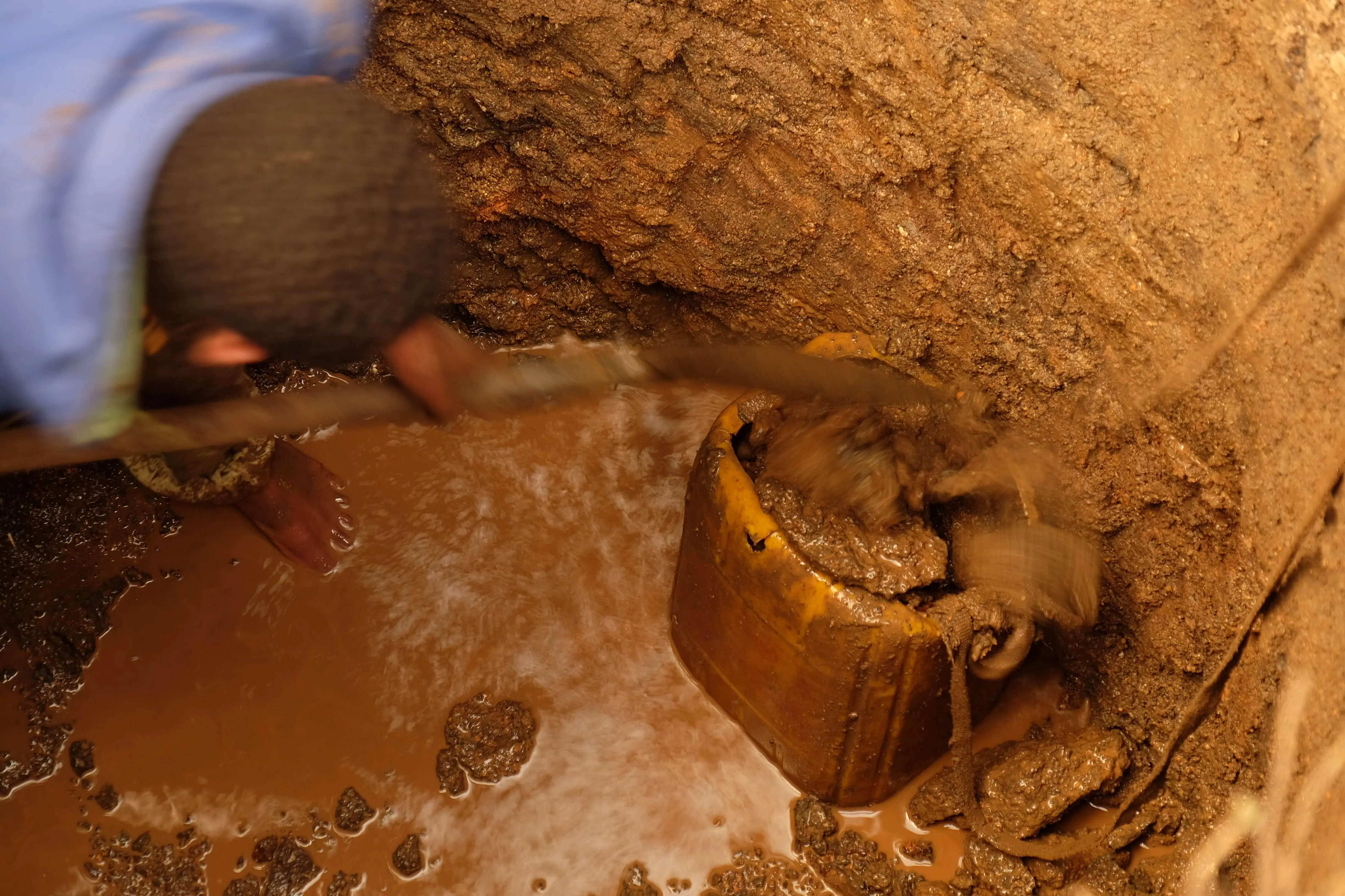

20 WATER SOURCES
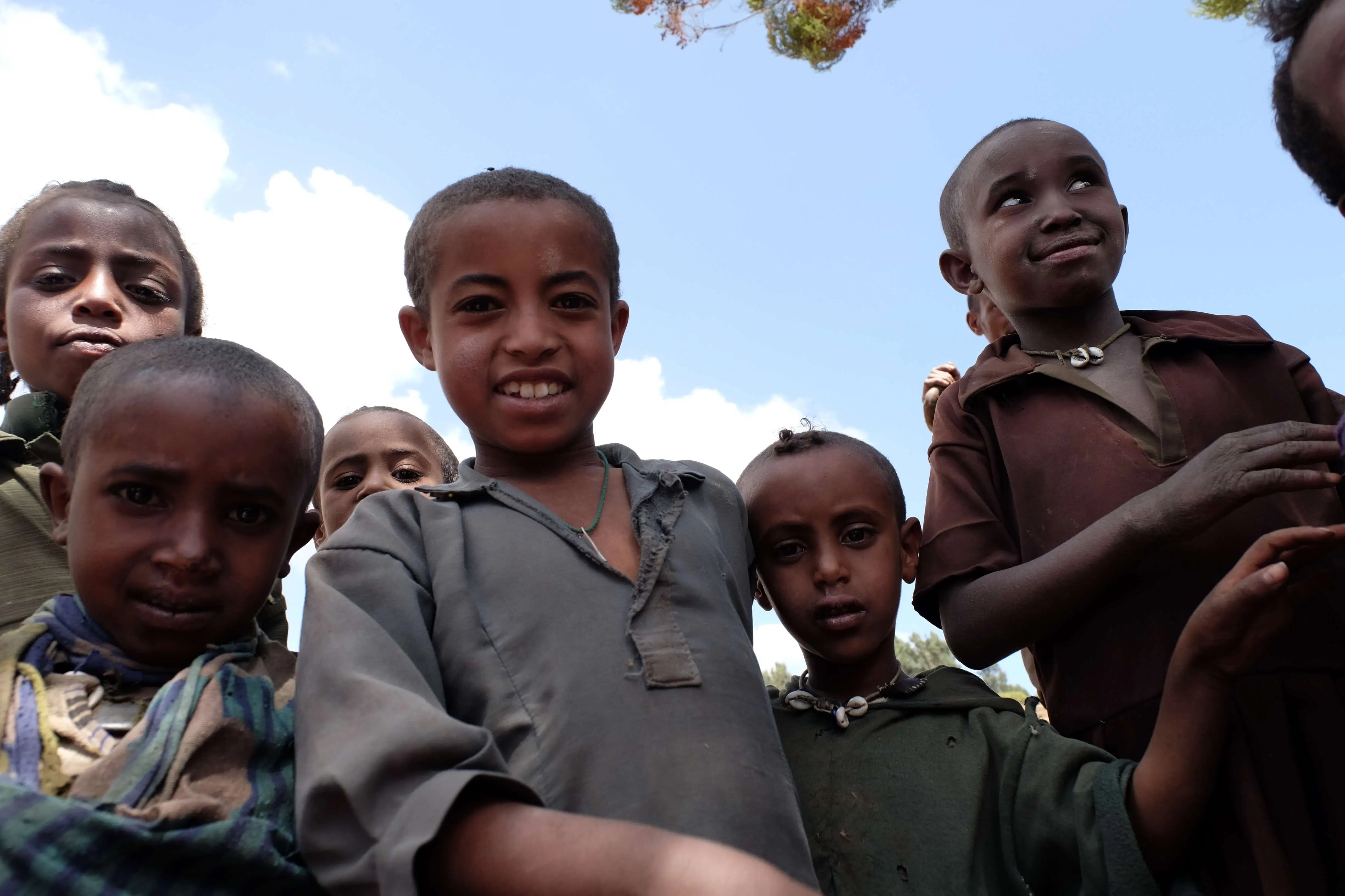
4,725 PEOPLE IMPACTED*
*approximate

$83,650 TOTAL COST
Village: AbamarWoreda: Latitude: 13.47432Longitude: 38.07995
Village: ChewberWoreda: Latitude: 13.3686Longitude: 37.95329
Village: May LomiWoreda: Latitude: 13.37707Longitude: 37.95166
Village: May MogessaWoreda: Latitude: 13.3881Longitude: 37.95787
Village: GahariWoreda: Latitude: 13.37903Longitude: 37.96234
Village: Lay GolimaWoreda: Latitude: 13.34357Longitude: 37.95008
Village: BaqushaWoreda: Latitude: 13.35089Longitude: 37.97302
Village: LamaWoreda: Latitude: 13.33615Longitude: 37.98995
Village: Ambera 1Woreda: Latitude: 13.32063Longitude: 37.85627
Village: Ambera 2Woreda: Latitude: 13.31976Longitude: 37.85692
Village: Ambera 3 (school)Woreda: Latitude: 13.31688Longitude: 37.85717
Village: Ambera 4Woreda: Latitude: 13.32646Longitude: 37.85487
Village: Lay Golima 2Woreda: Latitude: 13.35164Longitude: 37.9496
Village: ChewberWoreda: Latitude: 13.36954Longitude: 37.95563